
Our Expertise
ALTA Survey
Usually measuring current conditions: post-construction or as existing. ALTA surveys are a comprehensive measurement and mapping of every feature above, below, and on the surface of a parcel: parking lot stripes, storm sewers, trees, utilities, and more. Lewandowski Engineers is the first choice of lenders, title companies, and commercial clients to provide this key component of due diligence on commercial and industrial transactions. .Used for sales and transfer of commercial properties and anytime that a thorough analysis of property is needed.
Boundary Survey
Locate and mark the boundary corners of acreage and subdivision lots. Map the location of fences, driveways, buildings, easements, and encroachments. Used for lot splits, subdividing acreage, and resolving property line disputes.
Bathymetric Survey
Bathymetric surveys determine water depth, silt bed, and hardpan elevations. We use a multi-beam echo sounder tethered to RTK GPS. Detailed geo-spatial data can be incorporated into an ESRI-GIS format and combined with civil 3D modeling platforms to locate scours, sediment accretion and to calculate volumes for dredging as well as ODNR compliance for dock, breakwater, and bulkhead permitting. Used for engineering for water’s edge construction.
3D Survey
A 3D scan collects points on every surface scanned: every leaf, every rock, every bolt and beam. Analyzing these data-dense reports is part of our expertise. We have used 3D to survey otherwise inaccessible spaces or places where it is unsafe for a crew to work: river banks, bridge superstructure, building interiors, and streetscapes. Used for mapping as-built conditions, virtual job sites, and more.
Topographic Survey
Usually used before construction to determine development feasibility. A topographic survey indicates the grade of the surveyed parcel along with known underground utilities as determined by a review of city records and an Ohio Utility Protection Service (OUPS) field mark-out. Data typically provided: manholes and catch basins, utility poles, fire hydrants, curbs/edges of pavement, trees, and fencing. The survey will also indicate buildings and any other improvements made to the parcel. Used for evaluation of development feasibility, and to design for improvements: sanitary and storm sewers, waterlines, and building location and grade, for example.
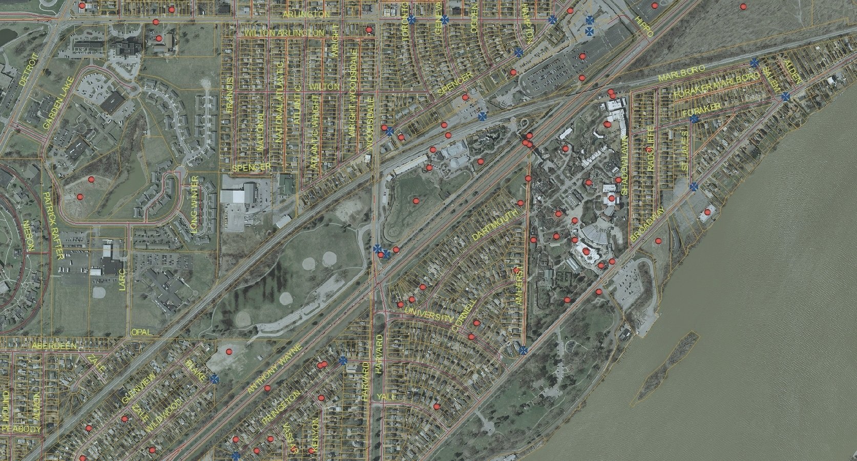
GIS
Geographic Information System. A GIS map links spatial data with statistical data in uniquely useful presentations. ArcView GIS combines and translates statistical data into customized maps reflecting economic, demographic, and topographic attributes that are an asset in due diligence profiles. Used for linking geographic data with trends to provide a platform for critical decisions relating to infrastructure, environment, real estate selection, routing, and short- and long-term development costs. Our surveys and placed monuments are all linked on our own GIS records.
Mortgage Survey
A mortgage survey is ordered by a lender to determine if the property is as described in legal documents. It normally only shows the buildings on the lot. This survey cannot be
used for a building permit or to settle boundary disputes. Used for lending and title documents only.

“Lewandowski Engineers were wonderful to work with. They coordinated very well with my general contractor on a challenging water’s edge site. On time, on budget, and professional.”
— George Rumman